Beautiful walk along the river Maitena, stop in Charcon for a refreshing bath. Discover the old Sierra Nevada tram route. Easy, Intermediate and Advanced Technical...
Read more
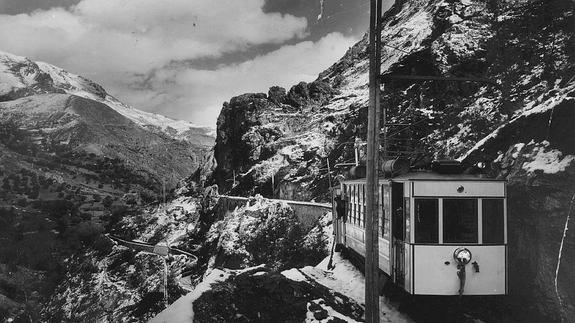
Beautiful walk along the river Maitena, stop in Charcon for a refreshing bath. Discover the old Sierra Nevada tram route. Easy, Intermediate and Advanced Technical...
Read more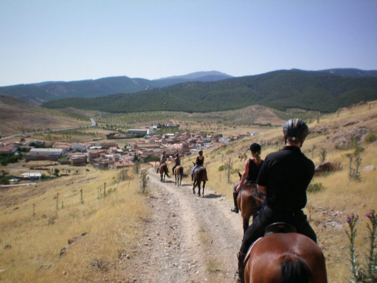
This is a program designed for people that want to learn to ride. Along the week we will learn the basic technical knowledge so as...
Read more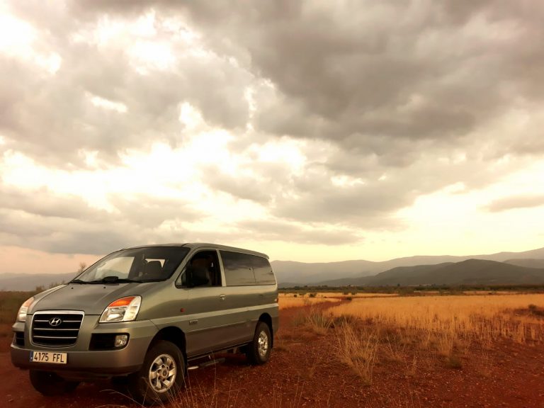
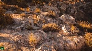
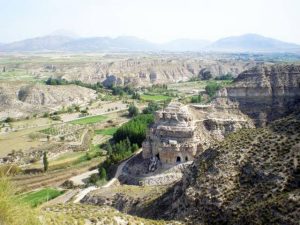
Discover in 4×4 the bad lands and the most unique areas of the Granada Quaternary Geopark, travel back in time in a film setting, and...
Read more